
The recent debate on Pir Panjal started after Sunil Sharma, a BJP leader and Leader of Opposition in the Jammu and Kashmir Legislative Assembly, said inside the Assembly that Pir Panjal is not a recognised region. Later, he repeated the same view in media interviews outside the House. These statements caused strong reactions because Pir Panjal is not an imaginary name, it is a real Himalayan range with a long and well-recorded history.
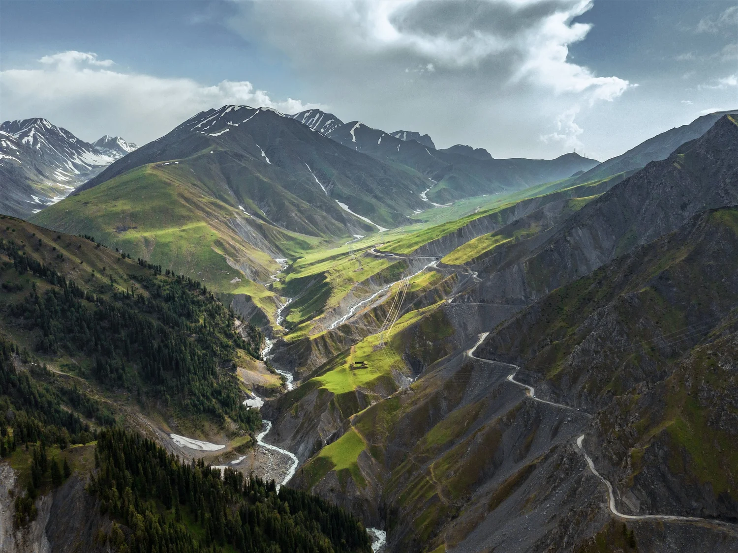
Pir Panjal is one of the most important mountain ranges of the Himalayas. The Pir Panjal Range is the largest range of the Lesser Himalayas. Geography books clearly mention that it stretches from present-day Himachal Pradesh into Jammu and Kashmir. The range forms a natural wall between the Kashmir Valley and the Jammu region. This basic fact is explained in standard books like the Imperial Gazetteer of India and Majid Husain’s Geography of India.
In Jammu and Kashmir, Pir Panjal plays a very important role. It forms the south-western boundary of the Kashmir Valley and covers the hilly areas of Rajouri and Poonch. Life in these districts depends heavily on the mountains. The climate, roads, farming, and daily movement are all shaped by Pir Panjal. Famous passes such as Peer Ki Gali, Banihal, and Haji Pir have been used for centuries to travel between Kashmir and the plains.
History also supports the existence of Pir Panjal. Ancient sources used names like Panjal or Panchal, while the word Pir was added later due to Islamic and Sufi influence in the region. This change of names over time is normal in history. Historian M. A. Stein, while explaining Kalhana’s Rajatarangini, wrote about the mountain barriers and routes that scholars later identified as the Pir Panjal range. This shows that the mountains were known even if the exact name changed.
During the Mughal period, Pir Panjal became even more important. Mughal emperors often travelled to Kashmir using the route that is now called the Mughal Road. These journeys required crossing the Pir Panjal mountains. Scholar Alexander Cunningham, in his book Ladakh: Physical, Statistical and Historical, clearly described Pir Panjal as a major Himalayan range. This proves that Pir Panjal was well known long before modern politics.
In British times, Pir Panjal was officially recorded in maps and books. “The Imperial Gazetteer of India and Survey of India maps” clearly mention the Pir Panjal Range and Pir Panjal Pass. British officers were careful in their records, and they would not have used the name if it was not real or recognised.
Some people now argue that the area should be called Chandrabhaga. This is historically incorrect. Chandrabhaga is the ancient name of the Chenab River, not the mountain range. Rivers and mountains have different names in history. Using the river’s old name to deny Pir Panjal is not supported by history books.
Today, Pir Panjal is also a regional identity. People living in this mountainous belt call their region Pir Panjal because their lives are shaped by these mountains. Just like regions such as Malwa or Bundelkhand, Pir Panjal is real even if it is not a separate administrative unit.
Pir Panjal is a real Himalayan range supported by geography and history. Ancient texts, Mughal records, British maps, and modern books all prove its existence. Statements made inside the Assembly or in interviews cannot change these facts. Pir Panjal remains a living reality for the people who have lived in its shadow for centuries.

Sayed Mobashar Ali is a B.A. Honours Psychology student at Jamia Millia Islamia with an interest in media, democracy, and society.